King Tides Linger as Heavy Rain Reaches Jacksonville: 2 to 3 Inches Expected Sunday Into Monday
Saltwater flooding from a week of king tides is slow to drain along Florida's Atlantic coast, and the Weather Prediction Center has placed the Jacksonville metro under a Slight Risk of excessive rainfall for Sunday and Monday, with the Jacksonville weather service office expecting 2 to 3 inches of rain from Sunday afternoon into Monday.
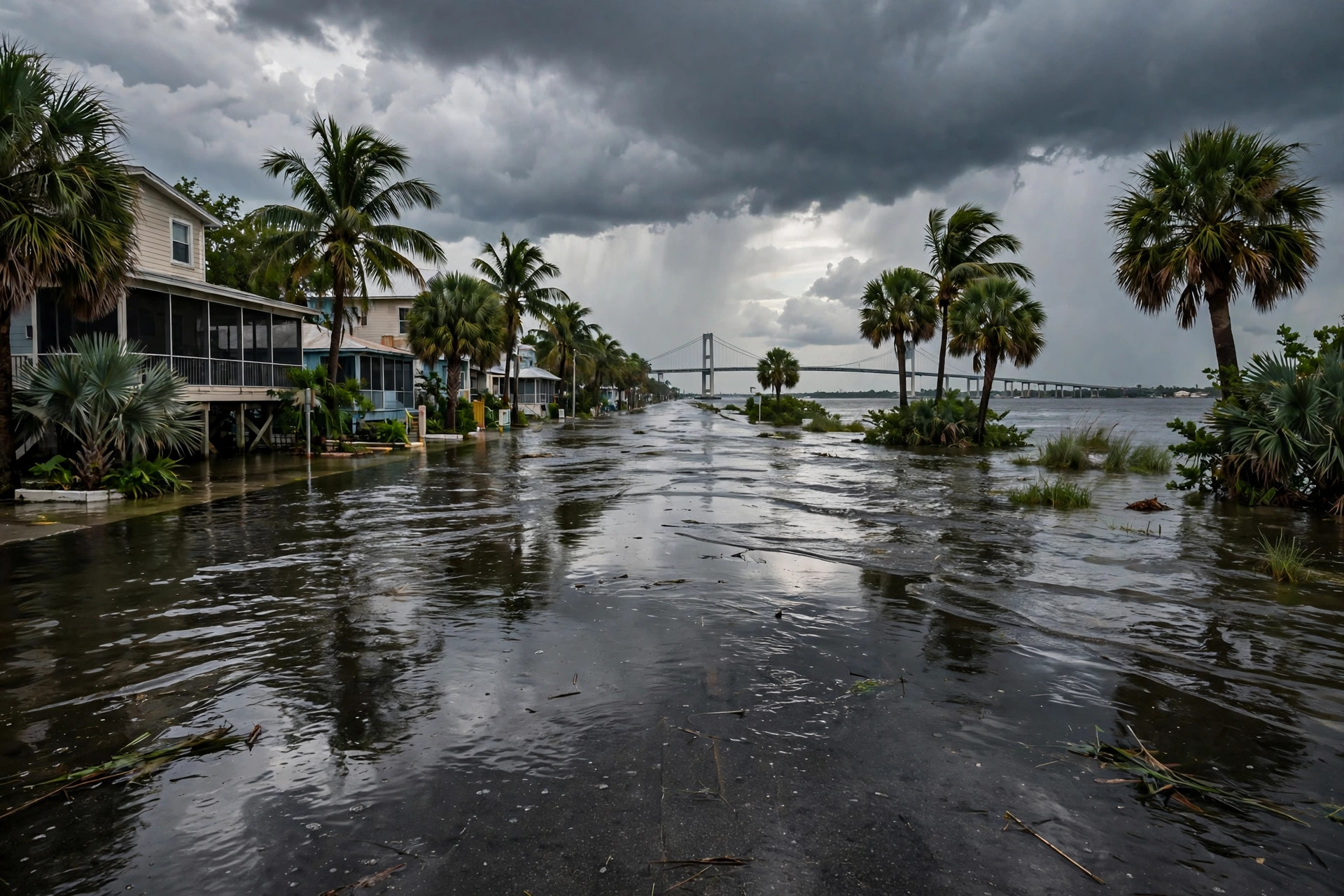
The water came up with the tides; the rain arriving Sunday may keep it there. Saltwater kept flooding low-lying streets along Florida's Atlantic coast on Saturday as a week of exceptionally high king tides slowly eased, and forecasters warned that heavy rain arriving Sunday could add to the flooding before the water fully drains away, in a WeatherBoy report summarizing the National Weather Service and Weather Prediction Center outlooks, opened by the desk this run.

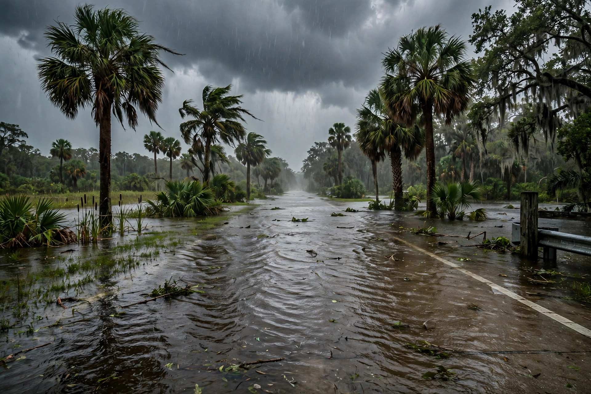
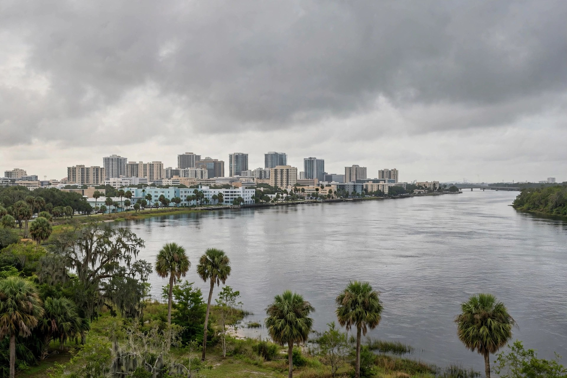
For Northeast Florida, the Jacksonville weather service office kept a coastal flood warning for eastern Putnam County until 5 a.m. Sunday, with moderate flooding of around 2 feet above normally dry ground expected along the river there. Elsewhere along the northeast Florida coast and the lower St. Johns River, mostly minor flooding of about 1.5 to 2 feet above normally dry ground was forecast at high tide, the office said. Earlier in the week, a Jacksonville forecaster said the impacts in Northeast Florida resembled those of a tropical storm, News4JAX reported, as residents of Coquina Avenue used kayaks to reach their homes and St. Augustine delayed opening City Hall and several government offices because of flooding.
The rain side of the weekend is the Prediction Center's: it placed much of Florida's east coast, extended north through the Jacksonville metro area, under a Slight Risk of excessive rainfall - level 2 of 4 - for Sunday, and kept the risk along the entire Interstate 95 corridor for Monday. A wave of tropical moisture crossing the peninsula will bring widespread rain, the center said, and 'the east coast of the state continues to have saturated soils from numerous consecutive days of rainfall.' The Jacksonville office said 2 to 3 inches of rain, with locally higher amounts, is a reasonable expectation Sunday afternoon into Monday.
The station's own live feed, read this run, put Jacksonville at 78.7 degrees and overcast on Sunday afternoon, with a Sunday high of 79.5, a 23 percent precipitation chance on the day's headline figure, and a wetter Monday (high 79.3, precipitation chance 28 percent on the feed's daily figures) - the hourly rain the outlook describes builds from Sunday afternoon. The National Hurricane Center said Saturday that no tropical cyclone formation is expected in the Atlantic basin over the next seven days, so the weekend's water is a tides-and-moisture story, not a storm story. Drivers should not cross flooded roads, which can hide potholes, debris and washouts - the warning Key Largo Fire Rescue gave its own residents this week, and the standing advice for the St. Johns River neighborhoods as well.