Flood Watches Cover South and Central Florida Through Monday; Northeast Florida Faces Localized Flooding Through Tuesday
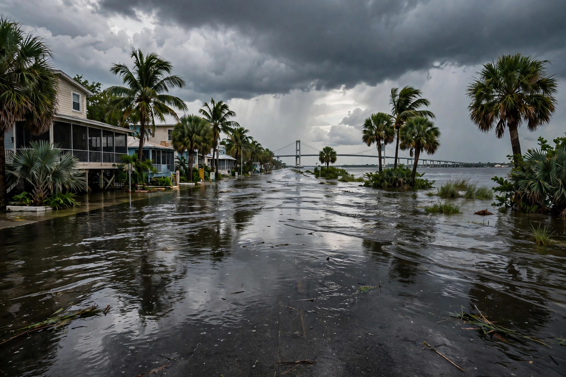
Flood watches stretch across South and Central Florida through 3 p.m. Monday after 4 to 7 inches of rain fell in parts of Okeechobee County, the National Weather Service says. For Northeast Florida, NWS Jacksonville says localized flooding is possible through Tuesday along the I-95 corridor and the coast, with a half-inch to 2 inches and local totals up to 3 to 4 inches.
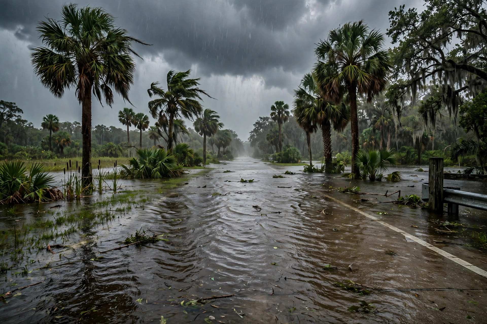
Florida's wet weekend became a statewide flood story on Sunday. Flood watches now stretch across much of South and Central Florida through 3 p.m. Monday after bands of heavy rain flooded roads from Miami-Dade County to Lake Okeechobee, according to the National Weather Service, in a Launchpad Digital file compiling the weather service's active alerts and opened by the desk this run.

The hardest-hit ground is around the lake. At 2:10 p.m., NWS Melbourne issued a flash flood warning for southeastern Okeechobee County until 4:15 p.m., saying local law enforcement reported 4 to 7 inches of rain, with 2 to 3 more inches possible, and that flash flooding was already occurring. Gauges in southwestern Glades and northeastern Hendry counties showed 4.5 to 5.5 inches, and parts of the Treasure Coast had received 2 to 5 inches, the file states. NWS Miami put Palm Beach, Broward and Miami-Dade under a flood watch at 12:49 p.m., saying scattered east-coast locations could pick up 3 to 5 inches through Monday, with isolated totals as high as 5 to 7 inches.
Northeast Florida's share is smaller but longer. NWS Jacksonville posted that localized flooding is possible through Tuesday, mainly along the Interstate 95 corridor and the Atlantic coast of Northeast Florida, with a half-inch to 2 inches of rain and localized totals up to 3 to 4 inches, the file states. Along the southeast coast, a coastal flood advisory for Miami-Dade runs until 7 p.m. Monday, with 5- to 7-foot breaking waves expected in Palm Beach and Broward until 7 a.m. Monday and a high rip current risk through Tuesday evening.
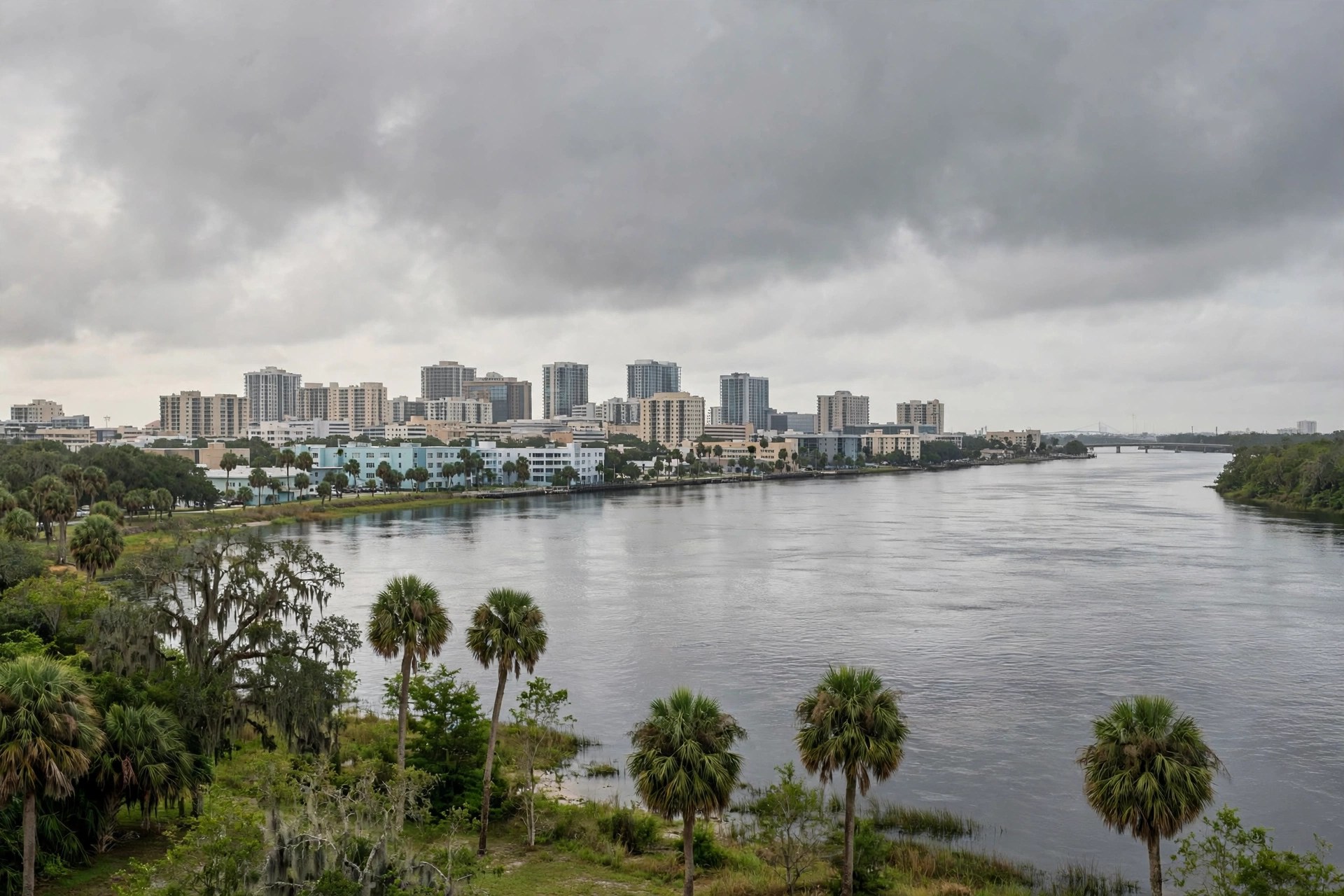
The station's own live feed, read this run, put Jacksonville at 74.3 degrees and overcast on Sunday afternoon, with a Sunday high of 79 and a 32 percent precipitation chance, and a wetter pattern holding into Monday (high 78.1). The Okeechobee warning's standing advice applies on every flooded road in the state, Jacksonville's included: "Turn around, don't drown when encountering flooded roads. Most flood deaths occur in vehicles." Warnings can be extended, changed or canceled; the weather service posts the current alerts at weather.gov.